
Serving Southern Jefferson County in the Great State of Montana
Serving Southern Jefferson County in the Great State of Montana
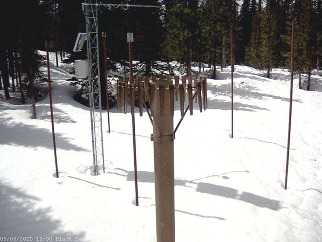
The NRCS has been experimenting with deploying remote cameras at select SNOTEL sites in Montana. While not currently available to the public, NRCS Snow Survey is working to make these images available in near real-time so that water users and recreationists can check in on mountain snowpack.
Weather patterns during the first two weeks of April, while cooler than average, didn't yield much precipitation across the state of Montana. However, the below average temperatures during this period did help to delay snowmelt at many low- and mid-elevation mountain locations during the first half of the month according to data collected by SNOTEL sites maintained by the USDA Natural Resources Conservation Service (NRCS).
"Both east and west of the Divide, snowmelt was delayed by a week or two at lower elevations because of these weather patterns, which is great news as it keeps that water in the mountain snowpack and prolongs streamflow during the summer when demand is the highest," said Lucas Zukiewicz, NRCS water supply specialist for Montana.
The last week of April brought a major weather pattern change that caused the snowpack to transition towards melt at most elevations in Montana. "The abundant sunshine and above average temperatures that persisted since April 20th took their toll on the snowpack in the mountains. Since then, rapid snowmelt caused rivers and streams in the state to begin the seasonal rise from snowmelt runoff," said Zukiewicz. In some areas the snowmelt is ahead of schedule, raising questions about available water supply later in the summer. "High elevations continue to hold onto snowpack or have just begun to discharge water into the river systems. However, low- and mid-elevation SNOTEL sites have been melting at an accelerated pace since mid-month, and most dramatically since the last week of April and into the first week of May," continued Zukiewicz.
Monthly Water Supply Outlook Reports can be found at the website below after the fifth business day of the month: https://www.nrcs.usda.gov/wps/portal/nrcs/mt/snow/.
Reader Comments(0)